Environmental monitoring
Positioned measurements of temperature, salinity, turbidity, pH and depth.
SEEKR Ines is a compact, electric and unmanned surface vessel being developed for environmental monitoring, mapping and visual inspection in lakes, waterways and sheltered coastal waters.
Traditional survey work often requires a boat, crew and extensive planning. SEEKR explores how a modular platform can revisit positions, follow repeatable routes and collect georeferenced data with a lower operational threshold.
Positioned measurements of temperature, salinity, turbidity, pH and depth.
Repeatable routes for bathymetry, shorelines and change detection.
Camera-based observation of inaccessible areas and marine infrastructure.
A practical test bed for sensors, autonomy and research collaboration.
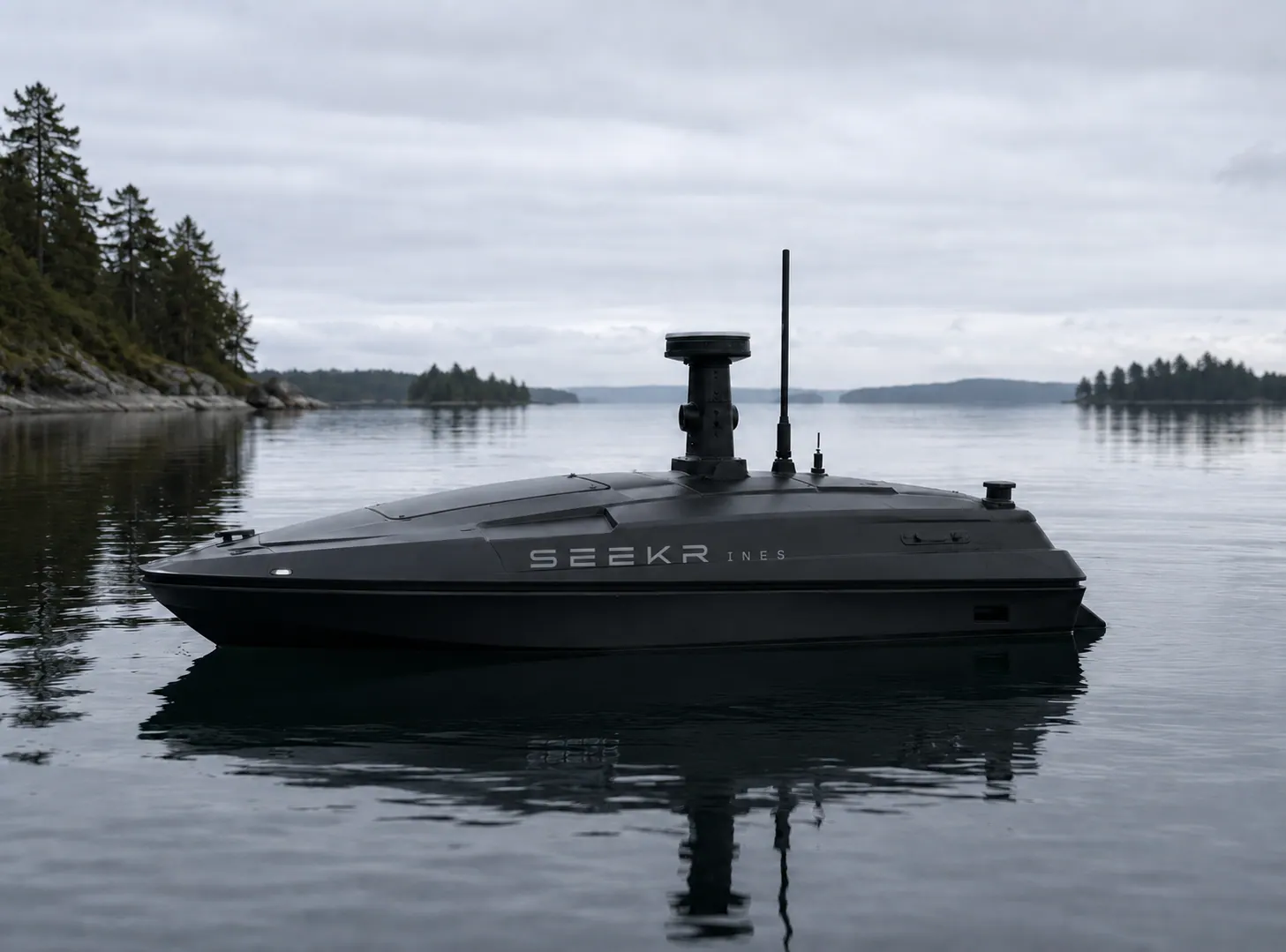 Hull study · concept in development
The working prototype tested propulsion, remote control, navigation and communication on water. The new vessel is designed from the ground up around hydrodynamics, serviceability and safe integration.
Concept images show the design direction. Final geometry and performance will be established through construction and verification.
Propulsion and core safety remain separate from experimental perception and environmental sensing. A failure in an added capability must never allow uncontrolled operation.
From the environment to a safe onboard decision
Sensors build a shared picture of the surroundings and water.
SEEKR’s purpose-trained model combines obstacle data, imagery, measurements and mission state locally.
The autopilot executes routes and safety rules with independent failsafes.
Commands become controlled movement or a safe stop.
No single sensor handles reflections, rain, dark hulls, low branches and small craft in every condition. SEEKR therefore combines maps, lidar, vision, AIS, proximity and depth.
Predefined missions, exclusion zones and safe distances from shores, docks and shipping lanes.
A local obstacle map provides distance sectors to the navigation system in real time.
Camera and AI distinguish water from land and classify people, boats, buoys and floating objects.
Independent proximity and depth sensors provide stop functions near low obstacles and shallow water.
The vessel slows, avoids, stops or returns. An operator can always take control and trigger an emergency stop.
When perception is uncertain, communications fail, energy is low or the route is blocked, SEEKR Ines should slow down, stop or return. Autonomous capability is introduced progressively under supervision.
SEEKR Ines is intended to support teams both at the surface and along the seabed. It can cover areas, mark observations and collect better evidence for the people directing the mission.
VAKA is trained on purpose-specific data for marine obstacles, thermal signatures, objects and sonar anomalies. Reviewed observations from testing are returned to a quality-controlled dataset and verified before deployment.
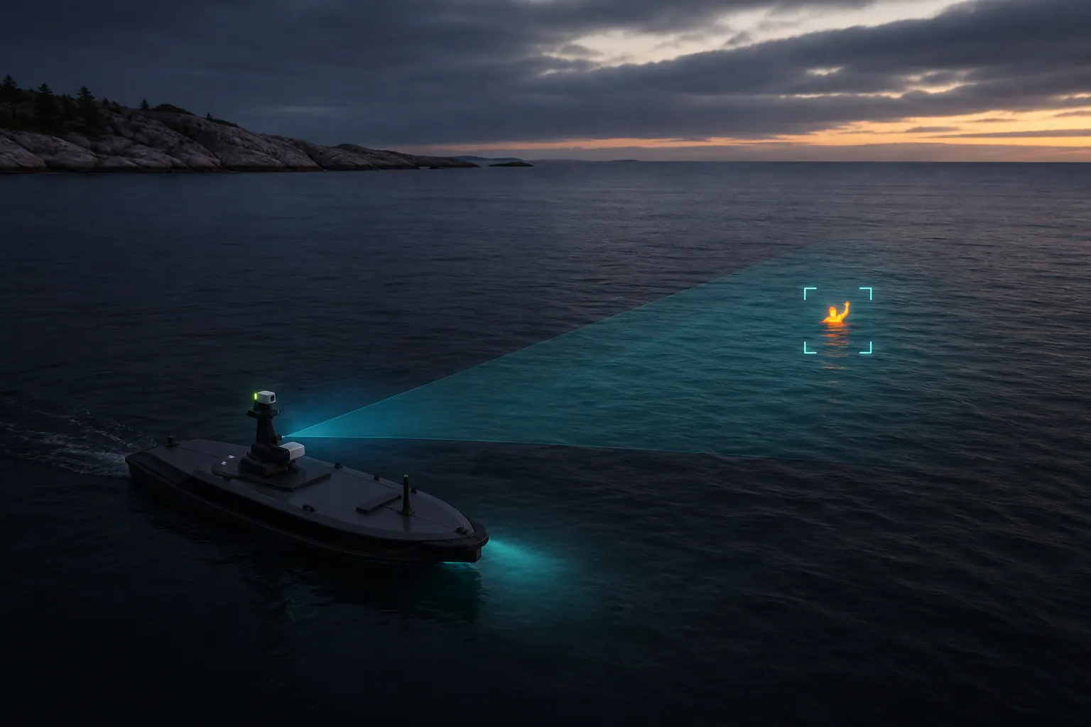 01 / SURFACE SEARCH
Looks for people and small vessels in darkness. Conventional imagery provides context and an operator verifies the observation.
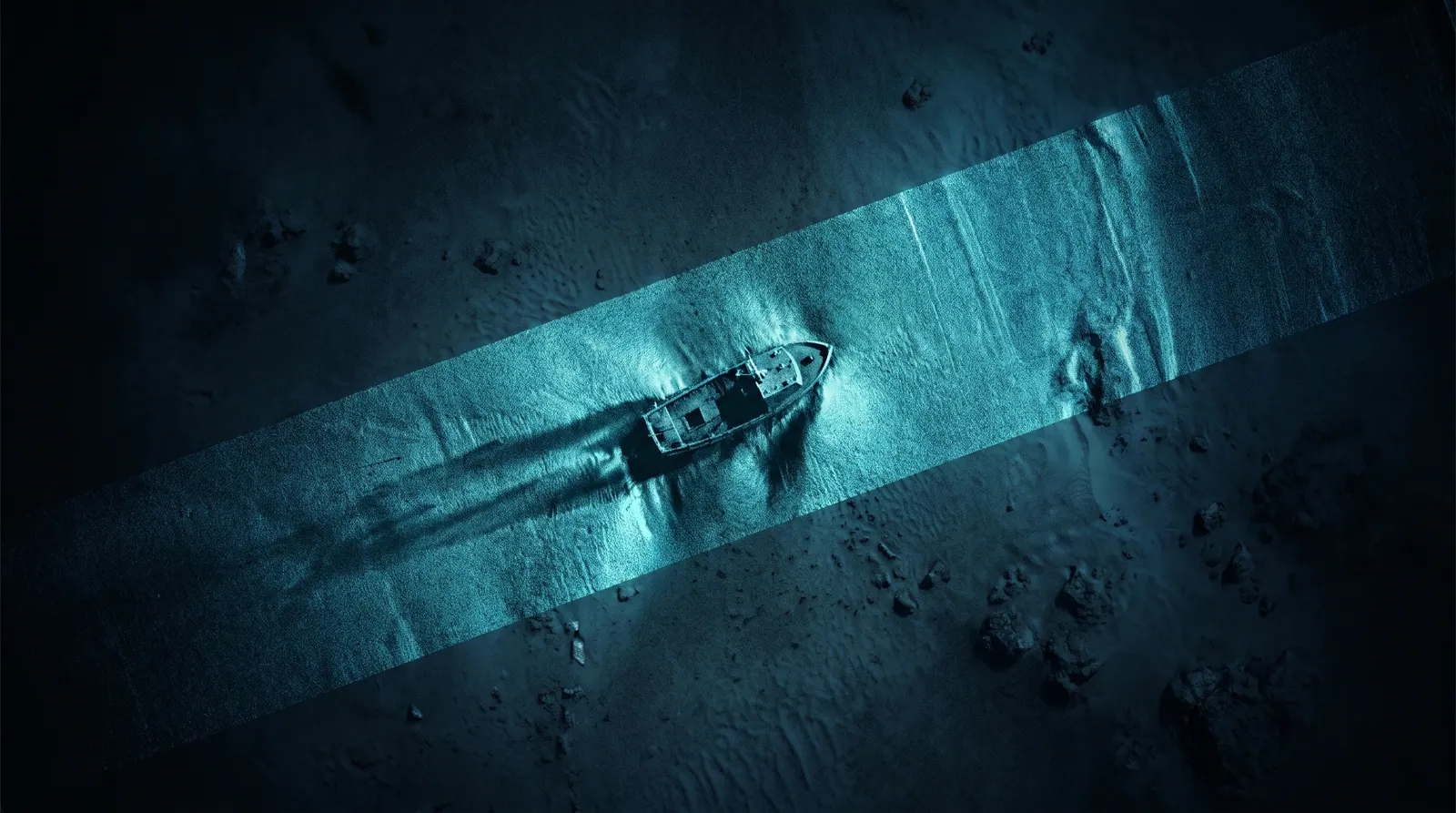 02 / SEABED SEARCH
Finds anomalies, lost objects and possible wrecks. Significant detections are revisited from several directions for better interpretation.
 03 / DIRECT SUPPORT
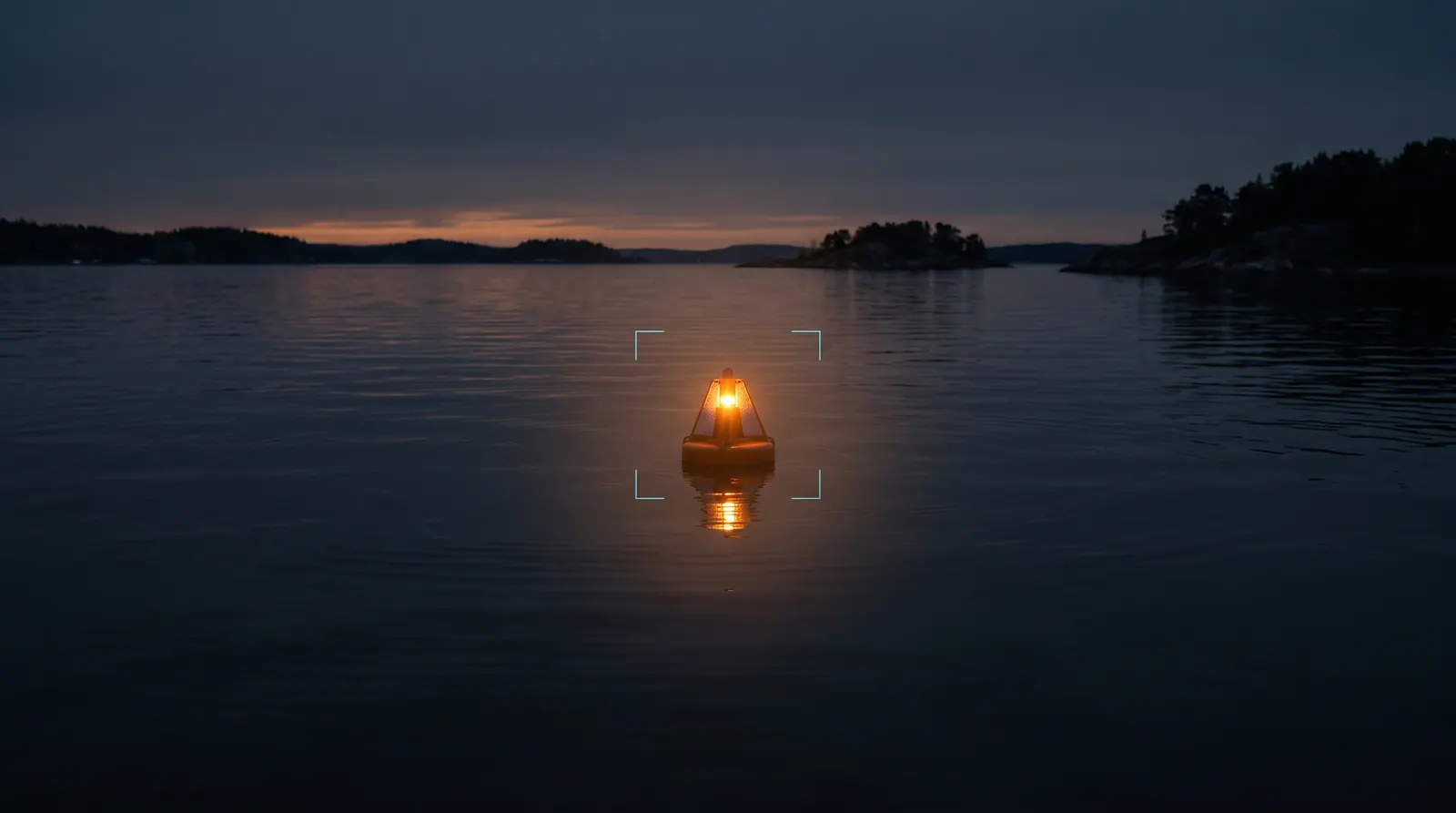
Shares an exact position and may place a marker, beacon or flotation aid after operator approval.
SEEKR Ines is intended as a persistent tool for rescue personnel, divers and search teams—never a replacement. Geofencing, safe distances, abort and manual takeover remain active throughout a mission.
Sensors are combined in a removable module. Water passes through a serviceable flow cell while GPS, time, speed and calibration state are recorded with the raw data.
Development is divided into measurable stages. Each phase must produce clear evidence before more complex autonomy or sensing is added.
Propulsion, remote control, navigation, telemetry and lighting tested on water.
Hull, serviceable electronics, 24 V energy and modular sensing are being dimensioned.
Hull, propulsion, sealing, cooling and safety functions are integrated and verified.
Progressive testing from supervised low speed to documented local surveys.
The project welcomes dialogue with municipalities, water councils, associations, research groups and companies interested in testing cost-effective marine data collection.